
Madison ZIP Directory Coverage
Madison's postal pattern has a compact center, broad directional areas, a campus cluster, and specialized institutional ranges. The City of Madison MPO map supplies area context, while USPS controls the current delivery answer for one address. The labels below describe associations shown by official map and postal material, not hard neighborhood or city boundaries.
| ZIP | Madison Area | Postal Context | Use Note |
|---|---|---|---|
| 53703 | Downtown, Capitol Square, central Madison | Core delivery area | Verify each street address with USPS |
| 53704 | North and east Madison | Grouped with 53714 and 53716 in USPS material | Edges do not follow wards |
| 53705 | West Madison and university-adjacent areas | City map label | Check an address at boundary edges |
| 53706 | University of Wisconsin campus area | Campus or institutional geography | Not a simple residential district |
| 53711 | Southwest and south Madison | Grouped with 53717, 53719 and 53744 | Postal group spans distinct local areas |
| 53713 | South and south-central Madison | Grouped with 53715 | Exact delivery address controls |
| 53714 | East and southeast Madison | Grouped with 53704 and 53716 | Confirm parcel municipality |
| 53715 | South-central and university-adjacent | Grouped with 53713 | Do not infer a ward from the ZIP |
| 53716 | Southeast Madison and Monona edge | East-side postal group | City-limit mismatch is possible |
| 53717 | West Madison and west-side growth area | Grouped with 53711, 53719 and 53744 | Verify newer edge addresses |
| 53718 | Far east and northeast Madison area | MPO map label | Confirm neighborhood and municipality |
| 53719 | West and southwest Madison | West-side postal group | Use a parcel check after USPS |
| 53726 | University and campus-related delivery | Potential institutional use | Not proof of ordinary residence |
| 53792 | Institutional and medical delivery | Specialized geography | Not a typical residential neighborhood |
| 53793–53799 | Specialized Madison ranges | Unique, institutional, governmental, or similar use | Verify the exact address and current use |
This ZIP code directory does not assign unverified post-office station names. The research identified delivery groups and map labels, but not a dependable official station pairing for every row. USPS remains the source for the current postal city and ZIP.
Madison ZIP Code Clusters
USPS grouping reveals a useful pattern. The east-side set joins 53704, 53714, and 53716. The south-central pair joins 53713 and 53715. The west-side set joins 53711, 53717, 53719, and 53744. These clusters help organize a broad search, but they do not create one shared neighborhood or government jurisdiction.
The 53703 core is the clearest downtown reference point. Farther from the center, a Madison mailing name may cover an address near another municipality. For records research, save the full street address and parcel number rather than relying on the five-digit code alone.
Verify Madison ZIPs With USPS
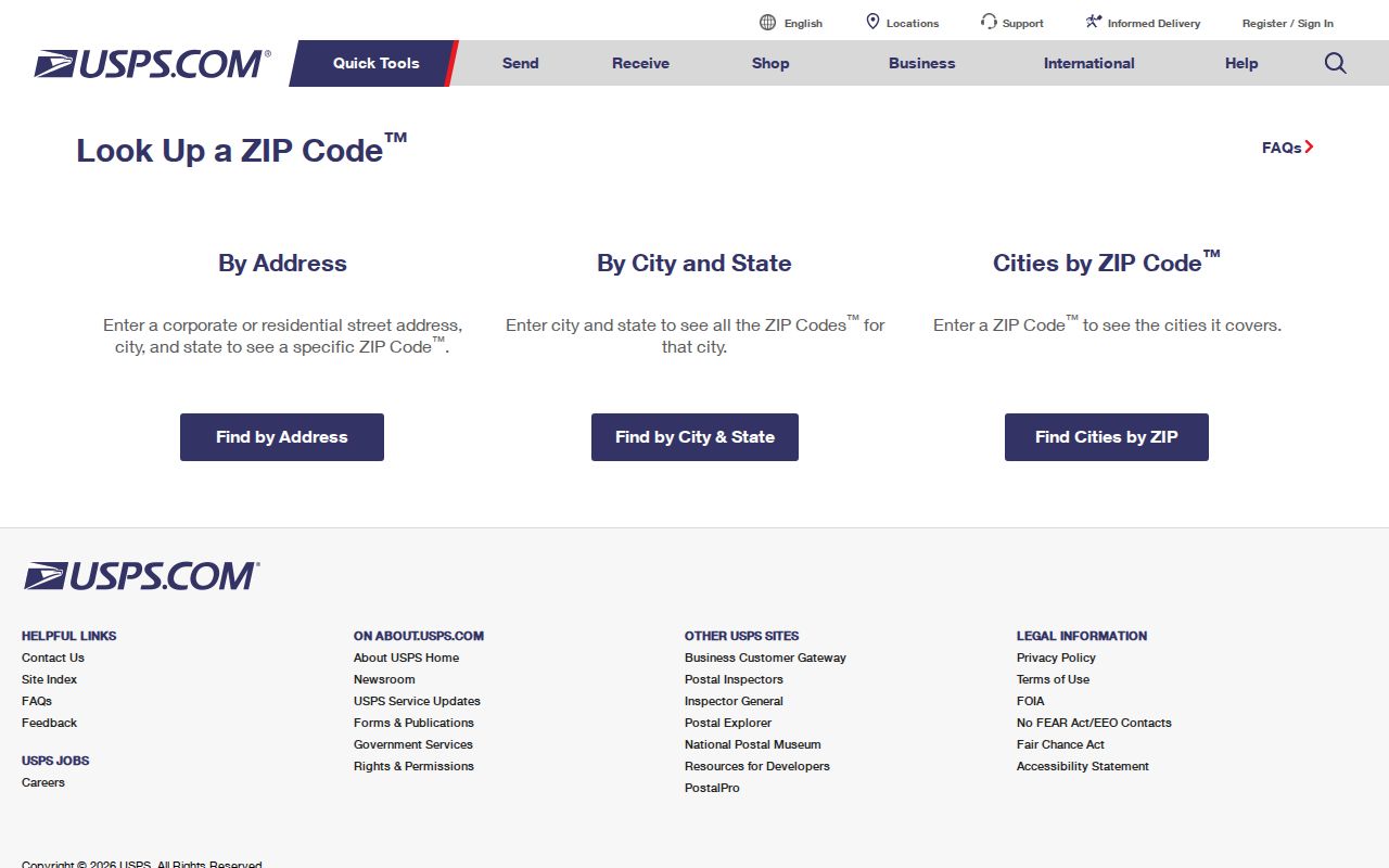
The USPS ZIP Code Lookup has three distinct modes. “By Address” is the best choice for one location. “By City and State” returns ZIP information for a place name, while “Cities by ZIP” identifies postal city names associated with a code. USPS warns that its result does not prove a person or company is at an address. Add the unit when one exists.
| USPS Mode | Fields | Best Madison Use |
|---|---|---|
| By Address | Company optional, street, city, state or ZIP | Confirm the delivery ZIP for one full address |
| By City and State | City and state required | Review codes associated with Madison |
| Cities by ZIP | ZIP required | Check the postal city attached to a known code |
The screenshot below shows the official USPS lookup entry point used to check a Madison delivery address.
Carry the verified result into local records as a postal fact, not as proof of municipal residence or occupancy.
Find Madison Residents by ZIP
No inspected Madison portal promises a free, complete owner roster filtered by ZIP. The City Assessor searches by address, address range, owner last name, or parcel number. Access Dane Quick Search uses owner, address, or parcel. MyVote requires name and date of birth. The practical ZIP code directory workflow narrows geography first and then moves to a supported local field.
- Verify the full delivery address or known ZIP through USPS, including the unit when applicable.
- Locate the code on the Madison MPO map list to understand the broad area and nearby postal edges.
- Use a street, owner name, or parcel in the City Assessor or Access Dane rather than assuming a ZIP filter exists.
- Confirm the situs municipality, mailing address, parcel jurisdiction, and date shown by the result.
- Use MyVote only for a known person's name and date of birth, or use Badger Voters for a lawful paid geographic data request.
Once a code has narrowed the area to a street, the Madison street directory follows the address-to-parcel record chain in detail.
Madison ZIP Parcel Checks
The City Assessor is useful after the postal step. Its address form requires house number and street name. Direction, street type, and unit are optional. Address Range requires beginning and ending house numbers. The owner form accepts part or all of a last name, and the parcel form accepts the county-style identifier. None of these inspected public forms confirms a ZIP-wide search.
Madison's property search can then supply a parcel lead. Access Dane adds tax, zoning, district, and legal-description context, though public owner information is not complete. Mailing address is where tax correspondence goes; situs is where the parcel sits. Neither alone proves who currently lives there.
Access Dane also warns that large result sets may hit a maximum count. Narrow the query by address or parcel instead of treating a capped list as every Madison record in that postal area.
Madison ZIP and Voter Data
MyVote does not offer a public ZIP or street roster. Its name search requires first name, last name, and date of birth. A match can show registration context, election participation, and elected districts, but never ballot choices. Protected birth dates, identity numbers, confidential-elector addresses, and accommodation information remain withheld under Wis. Stat. §6.36.
Wisconsin Elections Commission's Badger Voters service is the separate file-request route. Its filters include county, municipality, ward, voter status, election, and several district types. The portal estimates the matching count and price before an order. Standard data costs a $25 base plus $5 per thousand records, with a stated cap of $12,500. Downloads are CSV or ZIP files and participation history reaches back to 2006. The research did not confirm ZIP as a direct filter, so use municipality or ward and compare the result with a current map.
Madison Campus ZIP Codes
Campus and institutional codes are the strongest reason not to read a ZIP as a neighborhood. The 53706 and 53726 areas are tied to University of Wisconsin delivery. The 53792 code has institutional and medical use. Codes in the 53793 through 53799 range can represent specialized, government, institutional, or similar delivery needs.
A code serving one large institution may route mail without describing a conventional residential area. Confirm a person through the lawful record that matches the question. Do not infer residence merely because a filing, directory entry, or mailing address uses an institutional Madison ZIP.
Madison ZIP Growth Context
Madison's estimated 2024 population was 285,300, compared with 269,840 in the 2020 Census. Growth makes older postal maps and saved address lists less reliable at city edges. The MPO map titled “ZIP Codes 2021, Madison Area” was last updated in June 2023, so it is a sound official overview but not the last word on a current delivery address.
New development can also change the practical link between a postal label and local records. Record the map date, then confirm the address through USPS and the current parcel custodian. This prevents an older geographic snapshot from being mistaken for a live delivery decision.
Madison ZIPs Versus City Limits
A Madison postal ZIP does not prove that an address lies inside the City of Madison. ZIPs are delivery geographies, while municipal limits define local government. Surrounding Dane County places may use Madison in a mailing address, and annexation can change the municipal record without changing every postal label at once. Check the city annexation record or parcel municipality before assigning a ward, assessor, permit office, or local court.
- ZIP and ZIP+4
- The five-digit code identifies a delivery area. The extra four digits narrow mail routing to a smaller segment.
- PO-box ZIP
- A code used chiefly for post-office boxes rather than a normal street delivery area.
- Unique ZIP
- A code assigned for a large institution, agency, or other high-volume recipient.
- Carrier route
- The delivery path assigned to a postal carrier, which is not a city or parcel boundary.
- Situs municipality
- The local government where a parcel physically lies, regardless of the postal city printed in an address.
Keep three labels in every research note: situs municipality, postal city and ZIP, and county parcel jurisdiction. Historical Madison directories may use an older postal or municipal label, so compare the publication date with maps and parcel records from the same era.
Use Madison ZIP Records Carefully
The ZIP code directory is a geographic starting point, not a list of occupants. USPS confirms delivery data, the Assessor and Access Dane describe parcels, and voter systems follow their own fields and privacy rules. A mismatch may be correct because each custodian records a different kind of boundary.
Boundary check. Confirm the postal ZIP, municipal jurisdiction, and parcel record separately before connecting a Madison address to a person.
Note: Specialized Madison codes and city-edge addresses require an exact USPS query; broad ZIP maps should never be treated as proof of residence.